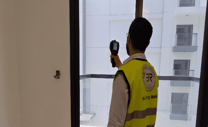
Underground secrets… and we see them with precision. We inspect water, electricity, and reinforcement networks up to 10 meters deep without breaking. This visual inspection prevents errors, reduces costs, and enhances safety.
Why GPR from Building Rank
- Instant visibility of what's underground before digging.
- Reduce breakdowns, leaks, and downtime.
- Faster decisions during maintenance and expansion.
- Digital documentation you can reference later.
What Do We Detect?
- Water and drainage pipe routes.
- Electrical and telecommunications cables.
- Rebar inside slabs, walls, and foundations.
- Voids and weak soil zones.
- Utility conflicts with proposed excavation paths.
Problems We Solve Before They Start
- Pipe breakage during excavation or renovation.
- Hidden leaks are causing floor subsidence and tile cracking.
- Old projects without updated utility drawings.
- Identifying reinforcement points before renovation or strengthening.
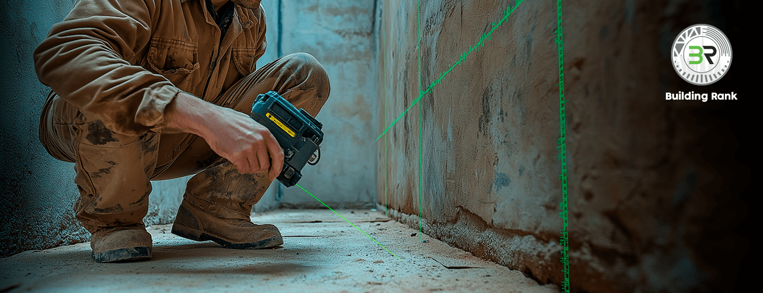
How the Process Works
- Quick site inspection to define scan scope and risks.
- Grid-pattern GPR survey with regular lines covering the entire target area.
- Signal analysis to extract depth, direction, and material type.
- Production of site maps readable in the field.
- Report delivery with results explanation and alternative excavation scenarios.
Technical Details
- Detection depth up to 10 m with ±5 cm accuracy.
- Material differentiation: steel, concrete, plastic, copper, through wave pulse analysis.
- Internationally certified equipment: GSSI and Hilti.
- ASTM D6432 compliant for Ground Penetrating Radar procedures.
- Structured points and linear locations are ready for export.
Deliverables You Receive
- Field PDF report illustrated with photos and explanations.
- Site Plan maps showing utility routes and depths.
- GIS files and CAD/DWG files for immediate use.
- Attributes table including: utility type, depth, diameter, and confidence level.
- Practical recommendations for safe excavation paths and alternative plans.
Common Use Scenarios
- Concrete cutting or coring at service locations.
- New extensions in existing facilities.
- Underground utility maintenance without prolonged shutdown.
- Engineering investigation for subsidence or void causes.
- Utility map updates for old or modified projects.
Sectors We Serve
- Residential and commercial towers and hotels.
- Factories, warehouses, and logistics facilities.
- Road, parking, and tunnel infrastructure.
- Villas and private residential compounds.
- Universities, hospitals, and sensitive facilities.
What Sets Building Rank Apart
- The infrastructure team is field-trained in Abu Dhabi and Dubai.
- QA/QC procedures on every reading before approval.
- Post-delivery technical support and updates when needed.
- Clear time commitment and reports are understandable for the site and office.
Accuracy and Safety Guarantee
- Survey grid planning ensures complete coverage with no blind spots.
- Safe, removable ground markers.
- Cross-referencing results with previous data when available.
- Immediate alert for any high-risk areas before execution.
Get a detailed metric-accurate map of what's underground and start excavating with confidence. We deploy the survey team and deliver your report quickly with all the data you need to make a safe, smart decision.